


Drones in Agriculture: A Digital Revolution Taking Flight
How are drones reshaping modern agriculture by providing real-time insights and precise data metrics that drive smarter farming decisions?

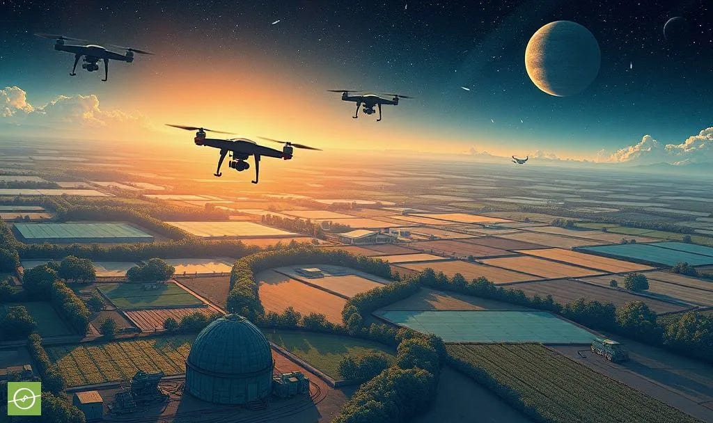
The Sky’s the Limit.
Drones Are Changing Agriculture
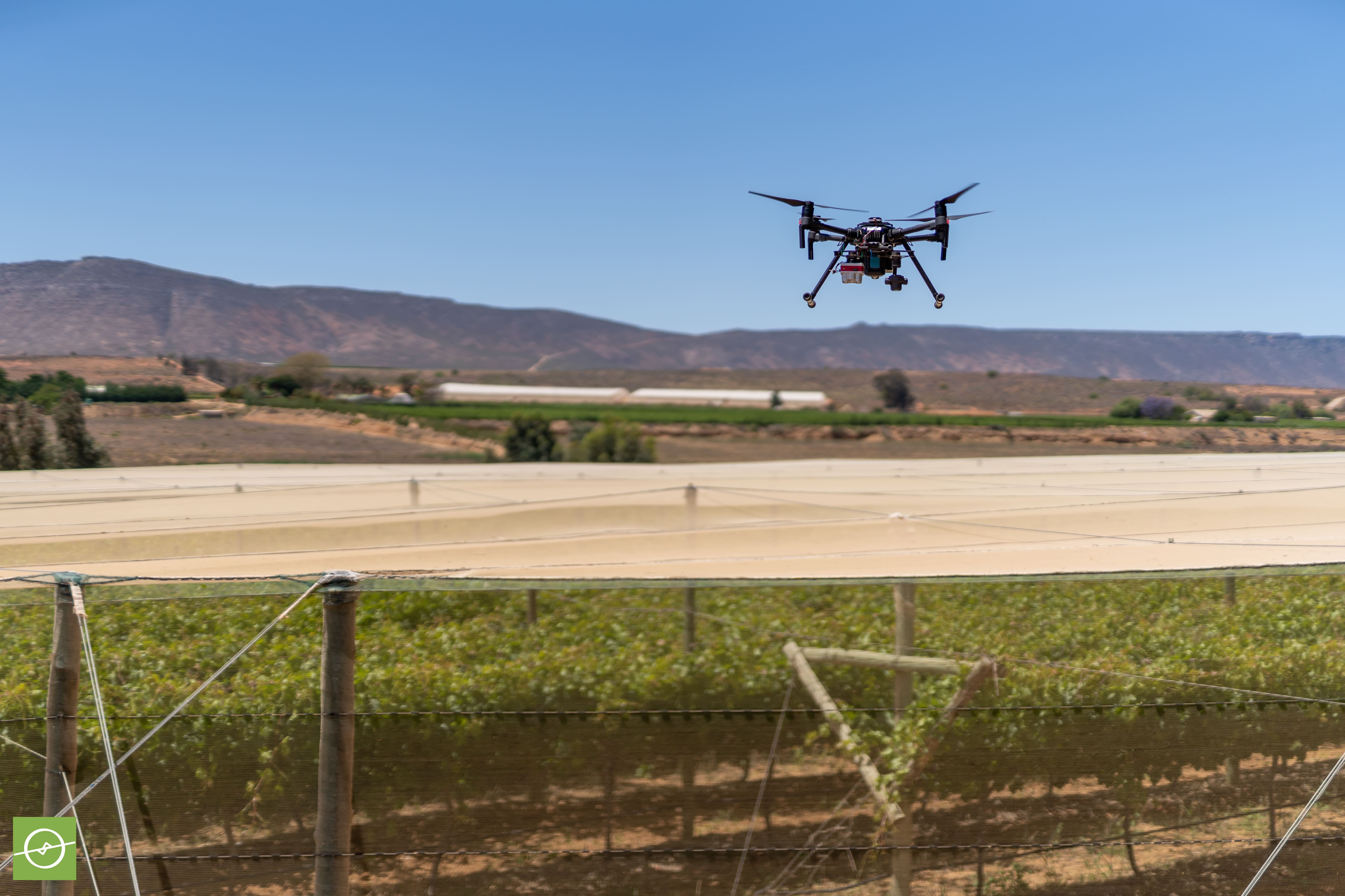
Drones have taken agriculture to new heights - literally and figuratively.
Once considered an expensive novelty, these Unmanned Aerial Vehicles (UAVs) are now indispensable tools in the age of modern farming.
From orchard monitoring to precision irrigation checks, and [di]stress detection, drones are redefining how growers manage crops.
But what makes them such a powerful tool?
The answer lies in data.
This post explores key drone types, their role in agricultural surveying, and the most valuable data metrics that help farmers make informed decisions.
Choosing the Right Drone: Fixed-Wing, Multi-Rotor, or VTOL?
Different farming needs call for different drone designs. The best choice depends on the farm’s terrain, survey goals, and required data resolution.
Here’s a breakdown of the three main types used for surveying:
Fixed-Wing Drones:
These resemble traditional aeroplanes and excel at covering large areas efficiently. Their long flight times make them ideal for extensive surveys. (Example: Sentera PHX)Multi-Rotor Drones:
These function like helicopters and offer superior manoeuvrability. They are perfect for close-range inspections and operating in smaller areas.
(Example: DJI Mavic 3M)Vertical Take-Off and Landing (VTOL) Drones:
A hybrid between fixed-wing and multi-rotor models, VTOL drones combine the benefits of long-range coverage with the ability to hover and take off from any location. (Example: WingtraOne Gen II)
“The choice between fixed-wing and multi-rotor drones depends on the specific needs of the farm operation.” – Dr. Greg Crutsinger, Scholar Farms
Drone Data - The Key to Smarter Farming
Drones provide high-resolution imagery and data that help farmers monitor crop health, detect pest outbreaks, and optimise resource use.
But how is this data collected? The secret lies in sensors, which capture different types of information based on specific needs.
“Drones are not just for capturing images; they generate actionable insights that drive sustainable agricultural practices.” – Allison Ferguson, PrecisionHawk
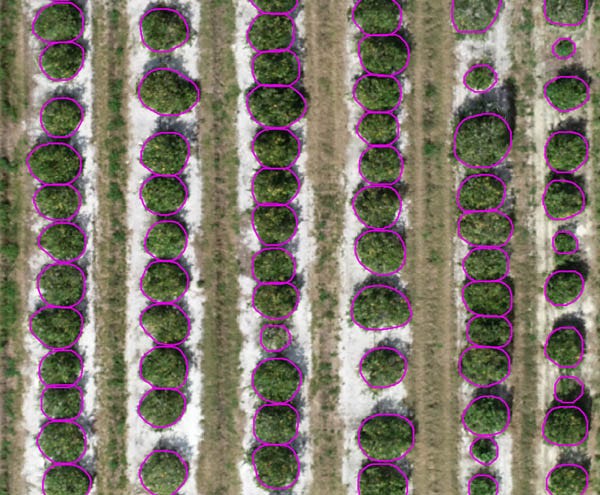
1. RGB Imagery: The eyes in the sky
RGB (Red-Green-Blue) imagery is the most familiar type of aerial data. It produces natural colour images, similar to what the human eye sees, but at a much higher resolution. These images are used for:
Basic crop monitoring
Identifying growth patterns
Generating Digital Surface Models (DSMs) for elevation mapping
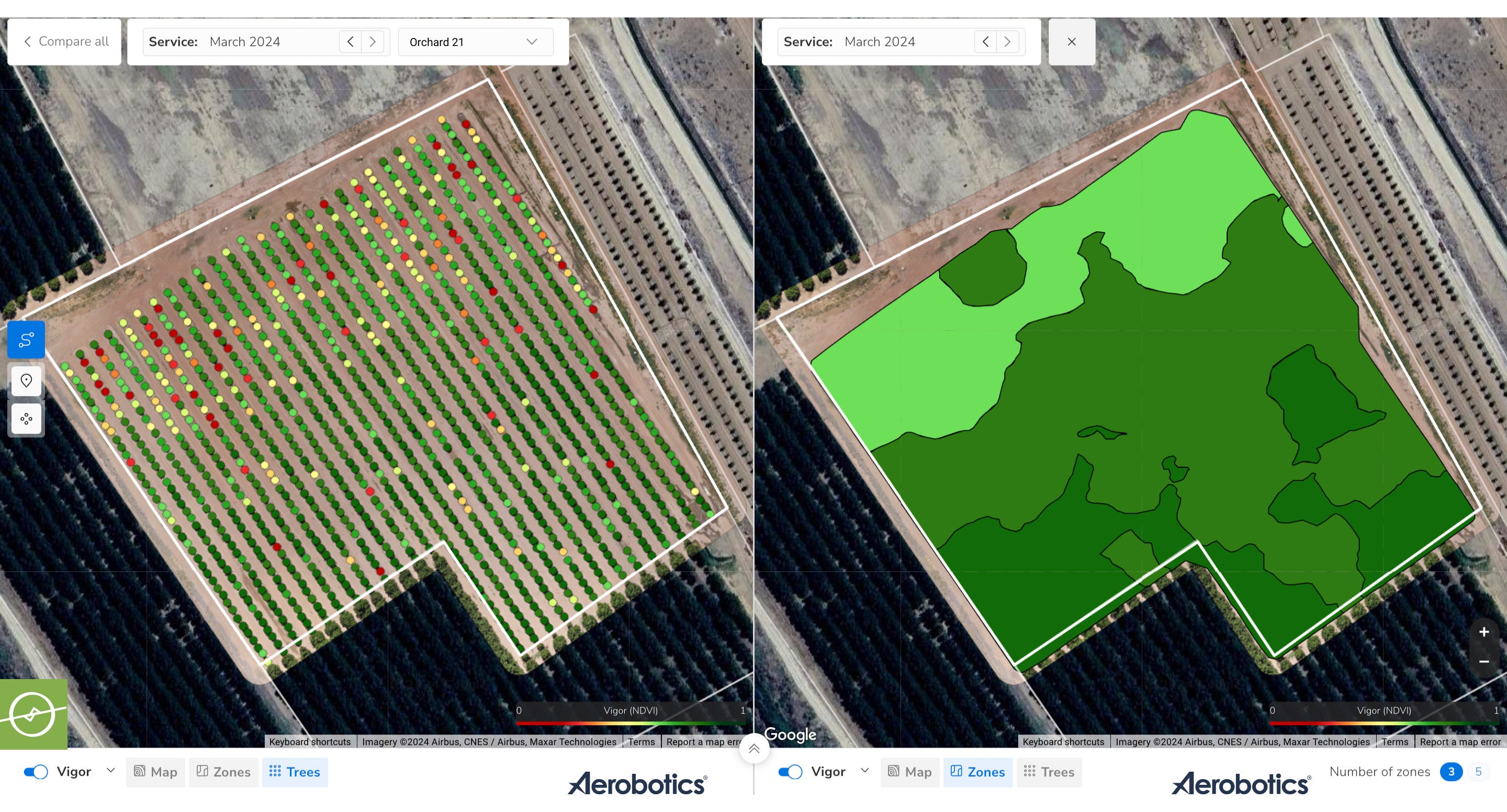
2. Multispectral Imagery: Seeing beyond the visible
Multispectral imaging goes beyond human vision by capturing data in non-visible wavelengths, such as infrared.
One of the most widely used multispectral metrics is NDVI (Normalised Difference Vegetation Index), which assesses plant health by measuring chlorophyll content. Applications include:
Detecting early signs of disease
Measuring crop stress levels
Creating variable rate application (VRA) maps for precision agriculture
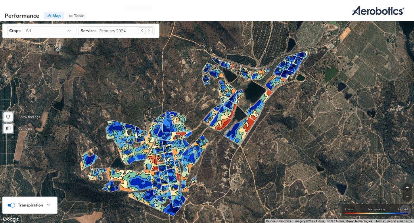
3. Thermal Imagery: Heat maps for in-depth crop monitoring
Thermal cameras detect temperature variations in plants, revealing issues like water stress, disease outbreaks, and irrigation inefficiencies. Thermal data helps farmers:
Assess transpiration rates and evaporation
Identify areas with irrigation problems
Detect hotspots for pest activity
From Data to Decisions:
How Farmers Use Drone Insights
Collecting drone data is just the first step. Farmers must also process and analyse this information to make informed decisions.
There are 4 main ways to integrate drone data into farm operations:
End-to-End Service Providers:
Companies like Aerobotics offer full-service drone data collection and analysis.Local Drone Pilots & Third-Party Analytics:
Farmers hire drone operators to collect data, then process it using specialised software.DIY Drone Surveys with Third-Party Processing:
Farmers fly their own drones but use external platforms for data analysis.Fully In-House Solutions:
Large operations invest in their own drone teams, processing software, and analytics systems (less common due to high costs).
Regardless of the approach, integrating drone insights - and being proactive in taking action on the data - leads to enhanced decision-making, improved efficiencies, and sustainable [often higher] yields.

Final Thoughts:
A New Era of Precision Agriculture
Drones are no longer an “emerging trend” - they are a game-changer in precision agriculture proving their worth. By providing detailed insights through RGB, multispectral, and thermal imaging, these aerial tools empower farmers to:
Detect problems before they escalate
Optimise irrigation and nutrient applications
Improve overall crop health and yield potential
Bolster resilience and adaptability to change
Support sustainable agricultural practices
As drone technology advances, its role in agriculture will only expand.
If you’re farming…
Are you ready to take advantage of the rewards with a revolution from above?
If you would like to learn more about all the best and most useful drone data metrics, be sure to check out the 1-week email short-course over here:
